Would Your Ancestor Recognize Their Hometown?
Would Your Ancestor Recognize Their Hometown?
When we discover where an ancestor was born or lived, one of the first things we usually do is add the place to our family tree.
Perhaps it is a village in Scotland, a small town in Ontario, a parish in Ireland or a community somewhere in Europe that we have never visited. We record the name, find it on a modern map and move on to the next piece of genealogical evidence.
But what if we stopped there for a moment?
What if, instead of simply recording the place, we tried to understand it?
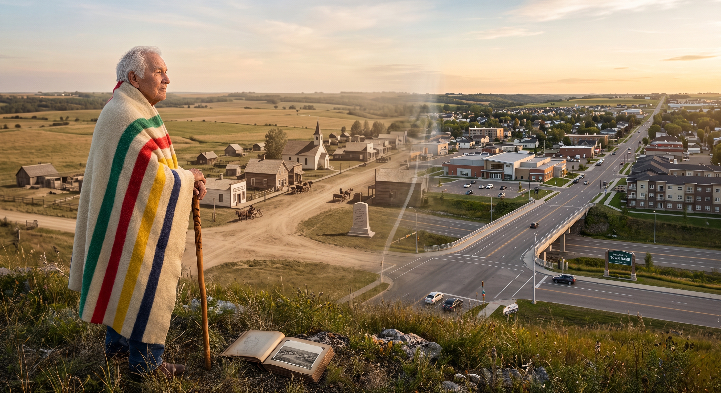
The community our ancestor knew may look very different today. Roads may have been moved or renamed. Buildings may have disappeared. Farms may have been divided. Railway lines may no longer exist. A small village may have grown into a town, while another community may have almost disappeared completely.
Even when the place itself remains, the world surrounding it may have changed beyond recognition.
So when you find your ancestor's hometown, ask yourself:
Would they recognize it today?
Start With What You Know
Creating a picture of an ancestral community begins with the same records we use to build our family trees.
Start with the information you already have.
Where was your ancestor born? Where did they marry? Where did they work? Where did their children attend school? Where were they buried?
Then look at the dates.
A place in 1850 may have looked very different from the same place in 1900. A community that was rural when your ancestor was young may have developed rapidly because a railway arrived, an industry was established or a nearby town expanded.
The dates matter because we are not simply trying to understand the place as it exists today. We are trying to understand the place as your ancestor knew it.
That is where the research becomes much more interesting.
Let Family Photographs Tell You What the Records Cannot
Photographs can be particularly valuable when creating a community profile.
A family photograph may show far more than the people standing in front of the camera. Look carefully at the background.
Is there a church steeple?
A school?
A row of houses?
A particular type of fencing?
A shop sign?
A road?
A bridge?
A railway?
Even the landscape can provide clues. Mountains, coastlines, rivers, fields and hills can sometimes help confirm that a photograph was taken in a particular location.
Older photographs can also give us a sense of the character of a community. The buildings, clothing, transportation and streetscape can tell us something about the time in which our ancestors lived.
And sometimes a photograph raises a question that leads to another record.
A building in the background might be identified through a local history. A business sign might lead to a newspaper advertisement. A church might point us toward parish records.
The photograph becomes more than a family keepsake.
It becomes evidence about place.
Gazetteers: Finding the Place Behind the Name
One of the most useful tools I have found when researching ancestral communities is the humble gazetteer.
A gazetteer can help us understand what a place was, where it was located and sometimes how it was described at the time our ancestor lived there.
This can be particularly important when dealing with small communities that no longer appear on modern maps.
A place recorded as a village, hamlet, township or parish may have had a very different significance in the past. Names may have changed, spellings may vary and boundaries may have shifted.
A gazetteer can help us establish the historical location before we start trying to interpret modern maps.
It can also raise new questions.
Was the community near a river or railway?
What larger town was nearby?
Was it primarily agricultural?
Was there a church or school?
Did it have a post office, inn, mill or other local businesses?
Each answer gives us another piece of the community profile.
Local History Puts People Into the Landscape
Once we know where the community was located, local history can help us understand what was happening there.
This is where genealogy and history come together.
A local history may tell us when a settlement was established, how the population changed, which industries supported the community and what important events shaped its development.
It may describe churches, schools, businesses, farms, industries and transportation.
Sometimes it will even mention families who lived there.
These details help us move beyond simply knowing that our ancestor lived in a particular place. We begin to understand what their community offered and what daily life may have looked like.
If your ancestor was a farmer, the agricultural history of the area becomes relevant.
If they were a miner, the history of the mine and the community surrounding it may provide important context.
If they worked in a mill, factory, railway or shipyard, understanding the industry can help explain why the community existed and why people came there.
The place begins to become more than a name.
It becomes a setting.
Take a Modern Look With Google Earth
Once I have gathered historical information, I like to look at the location using Google Earth.
There is something fascinating about seeing the landscape from above and trying to connect what we know about the past with what remains today.
A road may still follow the same route it did generations ago. A river may still curve through the landscape exactly as it always has. A church may remain standing, even though the surrounding community has changed.
Other features may have disappeared completely.
A railway line that once brought people and goods into the community may now be a walking trail. A farm may have been divided into housing developments. A factory may have vanished, leaving only a street name behind.
Google Earth can help us understand the geography in a way that a written record cannot.
It allows us to ask questions such as: How far was the family home from the church? How close was the railway? What did the surrounding landscape look like? How might my ancestor have travelled from one place to another?
Of course, a modern satellite image cannot tell us exactly what the landscape looked like in the past.
That is where the historical sources come back into the picture.
We are comparing the past with the present, not confusing the two.
Build Your Own Community Profile
By this point, you may have gathered quite a collection of information.
Instead of leaving it scattered among your research notes, bring it together into a community profile.
Start with the basics: the name of the place, the historical name if it was different, its location and the period when your ancestors lived there.
Then begin adding the details that help bring it to life.
What was the landscape like?
How did people travel?
What industries supported the community?
Where were the churches and schools?
Were there shops, inns, mills, factories or farms?
What happened during the years your ancestors lived there?
What buildings from that period still exist?
What has disappeared?
Family photographs can add the personal perspective. Gazetteers can establish the historical location. Local histories can explain the community. Modern mapping tools can help us understand the geography.
Each source tells us something different.
Together, they create a much richer picture.
The Community Becomes Part of the Family Story
This kind of research has changed the way I think about ancestral places.
I no longer want to know only that an ancestor was born in a particular village. I want to know what that village was like when they were there.
What would they have seen when they walked down the road?
Where would they have gone to church?
How far might they have travelled to school or work?
What businesses would they have known?
What would have been familiar to them that has disappeared from the landscape today?
We can never completely recreate the world our ancestors knew. But by combining the evidence, we can come surprisingly close to understanding it.
And that understanding can change the way we see our family history.
A place that once appeared as a name on a census becomes a real community. The community becomes part of the landscape. And the landscape becomes part of the story of the people who lived there.
Look at Your Ancestor's Hometown Differently
The next time you discover an ancestral place, resist the temptation to simply find it on a modern map and move on.
Take the time to explore it.
Find an old photograph if you can. Look up the place in a historical gazetteer. Search for local histories. Compare historical maps with modern ones. Use Google Earth to understand the landscape. Look for the church, school, railway, workplace or road that may have been part of your ancestor's everyday world.
Then bring those discoveries together.
You may find that the place you thought you knew is not quite the place your ancestor knew at all.
And perhaps that is the real value of creating a community profile.
We cannot step back in time and walk the streets with our ancestors.
But through careful research, we can begin to see the world they walked through.
And sometimes, when we look closely enough, we can almost see them there.